The Smart City Needs A Heat Operating System
A prolonged hot period can raise electricity demand, distort road surfaces, affect rail networks, increase pressure on hospitals and make parts of the public realm difficult to use. Trees, pavements and buildings respond differently to temperature. Some neighbourhoods remain relatively comfortable while others become heat traps.
Cities already collect much of the information required to understand these differences. The difficulty lies in connecting it quickly enough to influence what the city actually does. Smart-city programmes have spent years installing sensors, digitising infrastructure and building data platforms. Heatwaves provide a practical test of whether those systems can move beyond monitoring and support day-to-day urban management.
A weather forecast is too broad
A city can know that tomorrow will be hot without knowing where the operational pressure will appear. Urban temperature varies substantially within short distances.
A shaded residential street can remain several degrees cooler than an exposed square. Asphalt, concrete, dark roofs and dense building patterns absorb and retain heat. Parks and mature trees reduce local temperatures. Traffic adds further heat, while buildings release warmth through air-conditioning systems. Traditional weather stations cannot capture that level of variation. Cities increasingly have access to more granular information from environmental sensors, satellite data, connected vehicles, building systems and electricity networks. When those datasets are combined, officials can begin to see heat as a dynamic urban condition rather than a single city-wide temperature.
Heat affects systems simultaneously
The challenge becomes more serious because heat does not remain confined to one municipal department. Transport operators may face rail expansion, track restrictions or failures in cooling systems. Electricity networks experience higher demand as buildings increase air-conditioning use. Water consumption rises. Emergency services receive more calls. Public spaces become less usable during the hottest hours. These effects interact.
If commuters shift from walking and cycling towards air-conditioned cars, road traffic can increase. More traffic raises emissions and local heat. Higher cooling demand places additional pressure on electricity networks. Power constraints can then affect public transport, buildings and other services. Municipal organisations usually manage these systems separately. A heat operating system would attempt to see them together.
The city already owns much of the data
Many municipalities do not need to begin by covering every street with new sensors. Useful information often already exists. Traffic systems know where vehicles are moving and where congestion is forming. Public-transport operators know passenger volumes and service disruptions. Electricity providers can identify changes in demand. Building-management systems track internal temperatures and cooling loads. Water utilities monitor consumption and pressure. Satellite imagery can identify surface temperatures and vegetation cover. Municipal databases contain information about tree canopy, parks, schools, care homes and public facilities. Hospitals and emergency services can provide another layer of information through aggregated demand patterns. The technical challenge involves bringing these sources together without creating a platform so complex that nobody can use it operationally.
Heat maps should lead to decisions
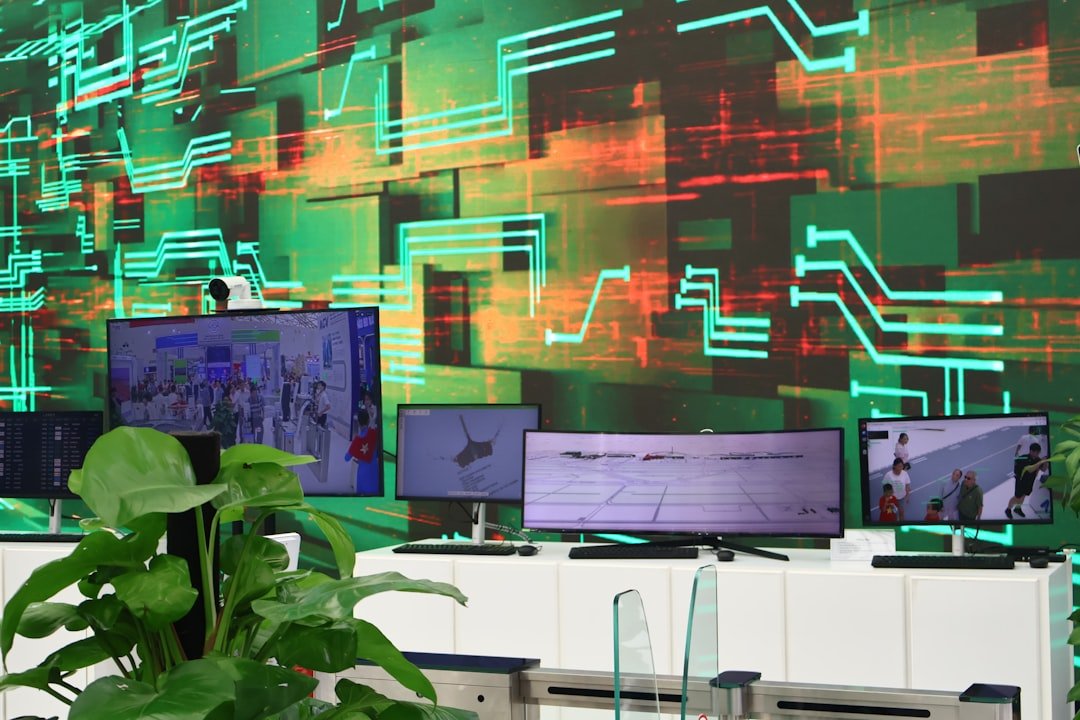
Cities have become increasingly good at producing dashboards. A dashboard alone does not make a city more resilient. The useful question is what action follows when the system identifies a high-risk area.
A city might alter cleaning and maintenance schedules so outdoor workers avoid the hottest periods. Public transport operators could deploy additional capacity on routes where people are likely to avoid walking. Authorities could extend opening hours at libraries or community centres that function as cooling spaces.
Traffic management systems might reduce congestion around particularly hot districts. Parks departments could prioritise irrigation in newly planted areas. Emergency services could position resources according to expected demand. Digital signage and mobile applications could direct residents towards shaded routes, water points or cooled public facilities.
Each action already exists individually in some cities. The opportunity lies in coordinating them around the same operational picture.
Buildings belong inside the system
Urban heat management often concentrates on public space, yet buildings determine a large share of the city’s response. Poorly performing buildings can overheat rapidly and require high levels of mechanical cooling. Offices and shopping centres may push electricity demand upwards at the same time that residential users increase their own consumption. Smart meters and building-management systems can help cities understand these patterns in aggregate. The information could support demand-response programmes that reduce or shift electricity consumption during critical periods. Commercial buildings might pre-cool before peak demand. Municipal properties could adjust temperature settings dynamically. Battery storage could support local loads when the grid comes under pressure. None of these interventions requires a futuristic city. They require systems that can exchange information.
Trees become infrastructure data
Cities increasingly treat tree canopy and vegetation as climate infrastructure. Digital tools can make that infrastructure easier to manage. A tree database can record species, age, condition and location. Satellite imagery can show where canopy is expanding or disappearing. Temperature data can identify the cooling effect around parks and tree-lined streets. That information allows planners to move beyond generic tree-planting targets. A city can identify streets where additional shade would reduce pedestrian exposure, public-transport stops that require protection and neighbourhoods where residents have little access to cooler public space.
Investment can then follow measured need rather than visual impression. The same approach can help cities evaluate whether interventions are working several years later.
Privacy and governance still matter
A heat-response platform does not need to become a surveillance platform. Much of the relevant information can operate at an aggregated level. Cities need traffic volumes rather than the identity of individual drivers. They need electricity-demand patterns rather than household-level behaviour. Public-health information can indicate geographic pressure without exposing individual medical records. Clear governance becomes essential when municipalities combine datasets originally collected for different purposes.
Officials need to define who can access information, how long it remains stored and what decisions can be automated. The sophistication of the technology does not remove the need for institutional discipline.
Resilience becomes operational
Climate adaptation discussions often concentrate on infrastructure projects that take years to design and build: greener streets, improved insulation, new parks, district cooling and redesigned public space.
Cities need those investments. They also need to manage the next heatwave with the infrastructure they already have. Digital systems can help connect the two time horizons. Operational data shows where current pressure occurs. Repeated patterns can then guide longer-term investment. If the same neighbourhood overheats every summer, the city gains evidence for tree planting, surface redesign, building renovation or new public facilities. A smart city should not simply produce more information about urban problems.
It should allow officials to respond earlier, coordinate systems more effectively and learn from each episode. Heat provides one of the clearest opportunities to test whether the technology can deliver that promise.